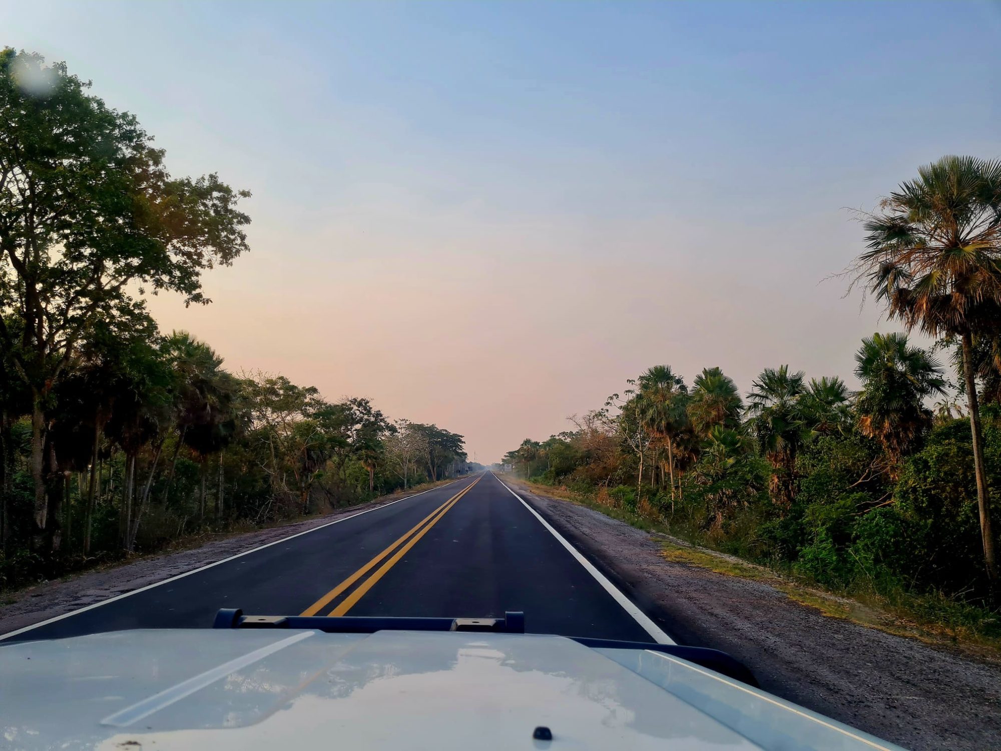
Our experience with the app and why it doesn’t work quite as well in South America
Once again we have to turn around because the road doesn’t continue. We should have stayed on the main road, then we would have reached our destination in ten minutes instead of an hour later. And, of course, in the cities we always end up on a one-way-street where it wants us to turn in the wrong direction.
These are just a few examples of what our dear friend navigates us through. It seems that our friend Google Maps loves adventure and danger.
What have we learnt?
Don’t trust the GPS.
At home we use the navigation app to find everything, here in South America too. But we have changed the way we use it because Maps is less accurate here than in other parts of the world. Well, Africa could be worse.
Prioritising distance over road conditions
One of the most common mistakes Maps makes is prioritising distance over road conditions. Maps always show the shortest route… in kilometres. The problem is that not all roads are paved (even a national road is no guarantee) and conditions vary greatly, especially during the rainy season. Even a tarmac road is no guarantee that it is in good condition; nobody knows when the last maintenance was carried out.
Because it prioritises distance, we often end up on a short cut prolonging the journey. The app often sends us on a detour when the main road has lots of traffic lights, but the road ends up being an impassable market.
Incomplete or inaccurate mapping


This is where we most notice that the Internet does not know everything. Google creates its maps from satellite images and Street View. This allows them to ‘see’ roads, but also details such as traffic signs. They also add official data, such as from the United States Geological Survey or local authorities. But that’s not all, the final touch is always human. On the one hand, Google employs a global team to correct the data; on the other hand, users also contribute by using the app and sending in contributions and feedback. Of course, in the age of AI, Google is also using machine learning to improve maps more quickly.
In the remote areas we usually visit, the task of updating maps is much more difficult. The maps may even be incomplete, as the company has less data to analyse. That’s why one of the most common mistakes Maps makes is interpreting bad field paths or footpaths as roads, and then showing us a route that’s completely impassable by car. The locals might be able to get through on their bikes, but not us.
Wrong interpretation of topography

Since distance is the most important thing to Google, we often end up on a very steep road. Too steep for a car, and usually at 3000 metres above sea level, where the engine has less power anyway because of the lack of oxygen. And it is precisely then, in the middle of the steep road, that the app wants us to make a very tight turn. Sometimes it’s mission impossible, and then there’s no choice but to go back down – backwards. This usually happens in cities with a lot of traffic, such as La Paz, the capital of Bolivia, or Cuzco in Peru.
The tech giant insists that topography plays a role in its mapping, but we’ve had more than our fair share of problems, and we’ve ended up doubting the technology
Restaurants that are garages
This topic is mostly related to the users of the app. Contrary to more frequented places, it’s better not to trust the descriptions or reviews (especially if there are only a few) in more remote villages. It’s better to look at the photos and think about what the owner wanted to convey by adding the place. This will give you a general idea of what the food looks like and therefore the quality (if the photos are theirs and not example images). Or you can see for yourself if there really should be a road, or if it really is a campsite or hotel.
We’ve gone to restaurants that turned out to be garages. Probably because the information hadn’t been updated. Or we’ve been to a Toyota garage that ended up being a ruin with plumbing problems and hundreds of litres of water leaking out. Nobody ever bothered to mark the place as closed. Not to mention repairing the leak.
Another challenge is opening hours. In general, opening hours in South America are indicative and not mandatory; the ones on Google are usually just wrong. The only solution is experience; over time you’ll know what makes sense and what definitely doesn’t.
The problems that arise with this kind of data are not the fault of the app. It’s the users who enter the wrong information or simply don’t update it. Over time, there’s a lot of unupdated information on the platform.


Solution: experience and satellites
Although there are many drawbacks and we’ve “lost” a lot of money in fuel consumption, Maps is still one of the best tools we have. We use it a lot when we have an internet connection – always use the satellite map. There are other apps like MapsMe that work quite well offline, or local apps like Waze (owned by Google). In the end, it doesn’t matter which app you use, they all have the same problems, so our solutions apply to all of them.
We’ve learnt to look at the whole route and zoom out, especially when driving through urban areas. This allows us to see unnecessary detours that take you off the main road through narrow streets. Traffic signs are important, but if there are none, especially one-way signs that seem to be missing in some countries, look at the parked cars or dare to break the law (watch out for the police).
We’ve also learned to trust our knowledge of the area and compare it with what people tell us. More importantly, sometimes the best solution is to ask the locals and to just turn around.

